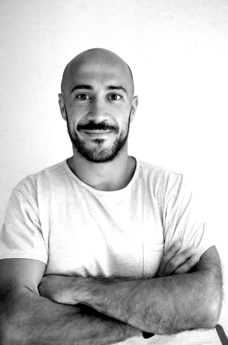
Interview with Francesco Petretto, CEO of Smartgeosurvey, innovative company at the service of precision agriculture and environmental monitoring
“Smartgeosurvey”, the name of the brand, already summarizes all the components of this company: innovative intelligence, research, the environment but above all technology thanks to the use of drones.
Today, drones are technologies capable of revolutionizing and enhancing business performance, especially in areas where precision, timeliness and safety are priority features. Let’s see how Smartgeosurvey helps companies working in engineering and environment to develop their business potential:
Services of Smartgeosurvey
Aerial photogrammetry with drone
Drones for industrial and engineering photogrammetry. The use of drones in this field ensures the execution of the surveys in
large areas, in a short time and in three dimensions. The images are processed through high-tech software capable of creating geo-referenced models. The resolution of the images is high , below the centimeter per pixel. Finally, the service includes a digital elevation model (DEM) that can calculate volumes, measurements and create orthophotos.
Precision agriculture
Thanks to the use of drones, Smartgeosurvey offers a revolutionary service in the field of precision agriculture. In particular through: multispectral analysis of crops; latest generation sensors to generate maps and monitor the vitality of vegetation (APR equipped); timely monitoring of any water, agricultural, and phytosanitary problems; photogrammetric surveys with thermal, multispectral and RGB instruments.
Thermography with drone
Drone thermography is a technique that is taking more and more space in wind and photovoltaic applications. SmartGeoSurvey uses thermal imagers to: house inspections, to detect thermal dispersions or breaking of internal pipes; inspection of industrial plants, for measurements on photovoltaic, wind or gas plants; analysis of domestic photovoltaic systems; accurate reports and timely interventions.
Aerial shots
Aerial photography is used in the civil field for video production with a high emotional impact. For this they are used in the cinema or to enhance the accommodation facilities.
Hello Francesco, nice to meet you and thank you for your time. Tell us the history of this beautiful company…
How and when was the idea of SmartGeoSurvey born?
The idea was born from the creation of the project by Andrea in collaboration with Coldiretti and a foundation for the protection of the environment, in particular of wetlands, an environment in which the first monitoring project was implemented. We started timidly to propose the monitoring with multispectral camera, collecting the first adhesions from 10 companies in the area and, seen the huge results of the first year, we decided to present ourselves to the second with a multidisciplinary and very prepared team, able to meet any kind of demand in the technological field.
How long did it take to shape the project?
It took us about a year to shape the project, we wanted to be sure to guarantee the best service to our customers, especially considering the general skepticism that there is about our field. Thanks to our perseverance we managed to set up an excellent team, each one specialized in its own field. I deal with all the administration and civil engineering, Alessandro with all the hydraulic engineering, Andrea with all the drones and Francesco is responsible for analyzing all the multispectral data, thanks to his 10 years of university experience and work in the field.
Who is SmartGeoSurvey targeting? How is the market responding?
Our company caters to all companies that want to give an extra boost to their business, both in industry and agriculture. The use of these technologies may sometimes seem pointless, but there are enormous advantages to be found both in the immediate and in the medium term, especially in terms of optimising workflows and saving resources, in the case of agriculture.
How much technology can still help companies to develop their business and how much, in Italy, found reticence in the application of high-tech models?
Technology can give a big hand to businesses, digitalisation is the future, it is just a matter of being the first to investigate aspects to which everyone will have to adapt sooner or later if they do not want to be cut off from the market. This is true in industry but especially in agriculture, where entrepreneurs are struggling with the now inevitable climate change and the constant variation in the prices of raw materials that force them to optimize and maximize their production to survive. We are here for this, to give decision support to farmers and entrepreneurs, accompanying them towards more conscious and sustainable choices.
How did you launch your project?
We launched our project in the midst of the pandemic, which has limited us greatly, in a sector such as agriculture where word of mouth is the preferred means of communication. Not being able to organize meetings or demonstrations has penalized us very much. The victory of important awards such as the national Oscar Green, organized by Coldiretti, first at regional and then national level, gave us a chance to show off and prove that technology can help even in one of the world’s oldest trades like agriculture.
Curiosity: a project that you are most fond of?
Surely it is the project ‘Smart Agriculture’, born two years ago and winner of numerous awards for innovation. We monitored weekly the crops of farmers who joined the project with a drone equipped with a multispectral camera. This sensor is able to give us concrete information about the state of health of the vegetation. In this way we have managed to save 20% of plant protection products and water to farmers, with benefits both for our customers and above all for the environment.
Credits:

